Demos
Three long videos and twelve short demos. All of them are edited from the program's own screen recordings.
Long videos
Two towers, from parcel to IFC
Structural frame, services, landscape, compliance check and construction sequence animation.
8:02From terrain to 3D model
Terrain, road, waste water line, buildings and landscape in a single chat.
6:26Road design: from typical section rules to quantities
Alignment, typical section rules, superelevation, walls, cross-section sheet and quantity take-off.
13:50Short demos
Each one shows a single task and is cut from the long videos. Its page states separately what the program did and what the engineer decided.
 0:43
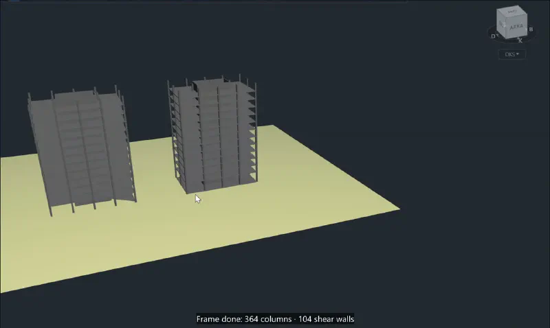
From parcel to structural frame
Terrain from survey points, the parcel boundary and the load-bearing frame of two towers are built in a single chat.
3D model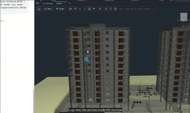 0:33
In-building services: four systems
Waste water, clean water, heating and rainwater lines are laid out with their risers and storey branches in a single prompt.
3D model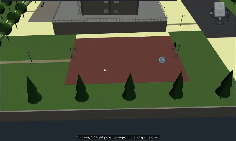 0:38
Landscape sits on the terrain
Car park, footpaths, play and sports areas are drawn with a single prompt; the areas turn into 3D surfaces that sit on the terrain.
3D model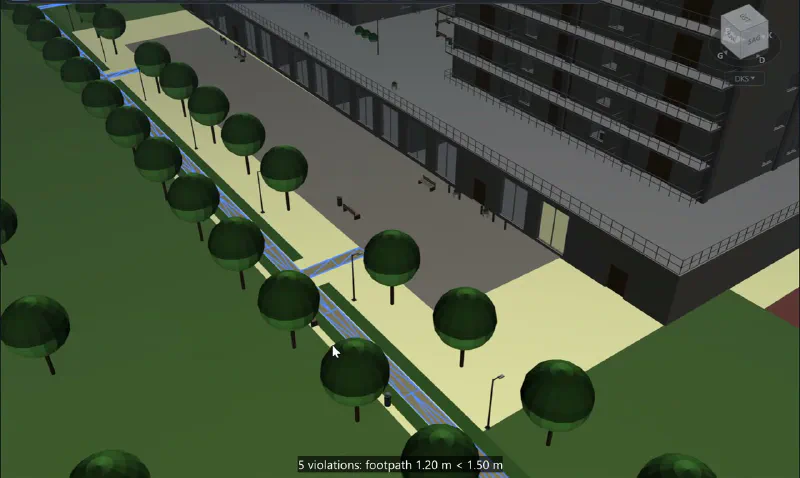 0:42
Compliance check: from red to green
The landscape rule set checks the drawing and marks the narrow footpath in red. After the correction the second check comes out clean.
3D model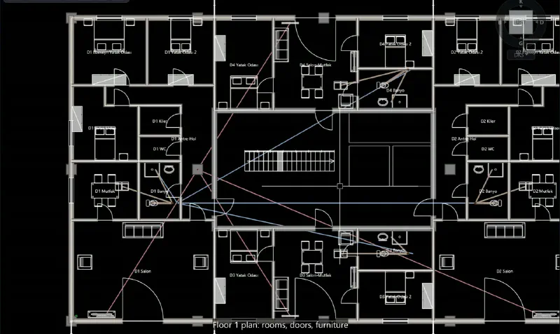 1:01
From model to output: IFC and sheets
Section and floor plan are produced from the model; the model is exported as IFC 4.3.
3D model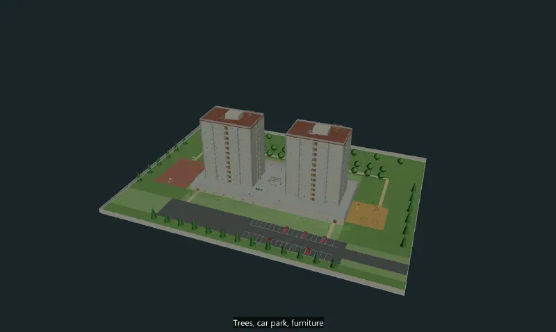 0:16
Construction sequence animation
The model is ordered by construction sequence and plays as a 3D animation from foundation to roof.
3D model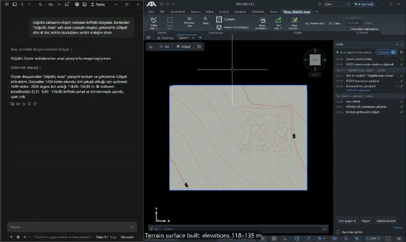 0:27
Terrain from a points file
A survey file is read, the terrain surface is built and the elevation range is reported.
Road and terrain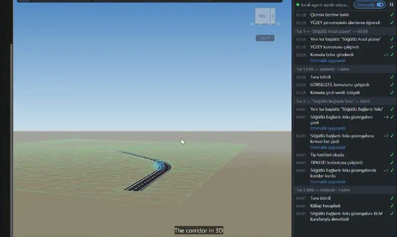 0:50
Road: alignment, section, earthwork volumes
Alignment, design profile, typical section and corridor are built with a single prompt; cut and fill volumes are calculated.
Road and terrain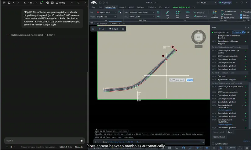 1:27
Waste water line, longitudinal profile, trench volumes
Manholes and pipes are placed, levels come from the institution's rules. The longitudinal profile and trench volumes come out in the same chat.
Infrastructure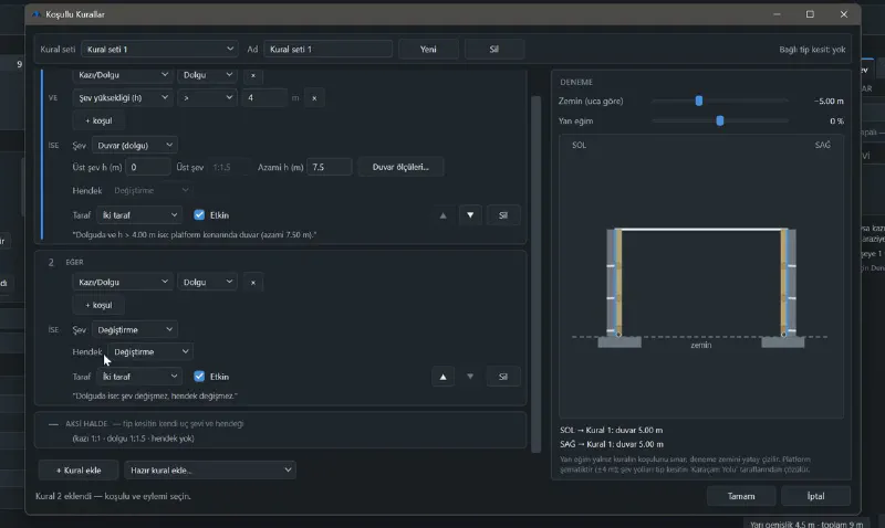 1:41
Typical section rules
A rule is written once; at each station the program decides whether it will be a slope, a wall or a ditch.
Road and terrain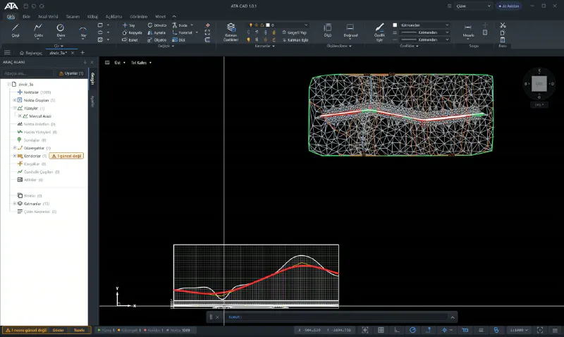 1:34
Superelevation and KGM built-up section
Superelevation is calculated to KGM criteria and applied to plan and profile. A typical section with a cycle path is assigned to the built-up section.
Road and terrain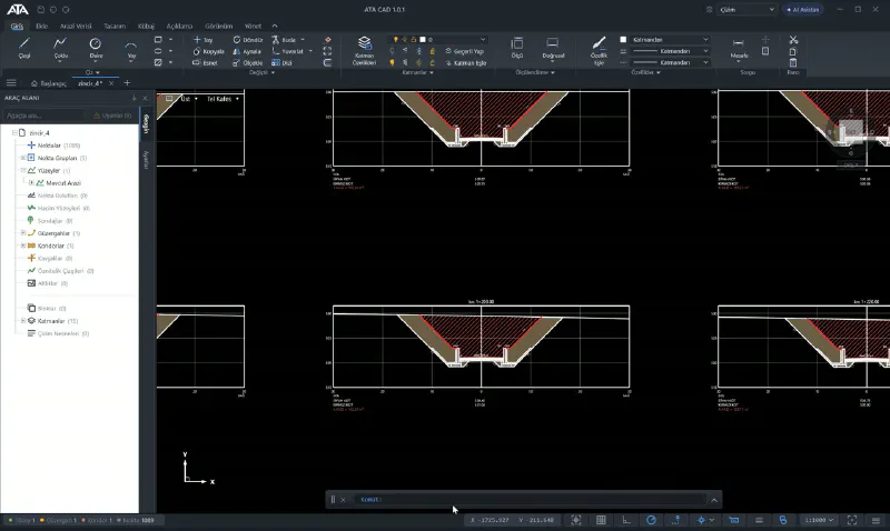 1:25
Cross-section sheet and quantity take-off
The section of every station is arranged on the sheet; cut, fill and quantity items come out of the same model.
Road and terrain